
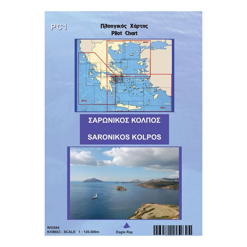
Description
The eagleray pilot chart is a completechart, published under permission from the Greek Hydrographic Office, that offers in addition pilot information. Charts have been made for many years now with the HOs around the world focusing on the ships and the ships needs. For a good reason as well 50 years ago you wouldnt find not even one tenth of the yachts travelling the seas today.
Eagleray bridges this gap, by offering pilot information on the chart that is relevant to the yacht. In order to do that, they dont remove official information, they only add from their own surveys: a text next to a strait, a symbol next to a shelter. That way, Eagleray maintain the officiality of the chart while offering the add-ons for the yachts.
All that exists in the front of the chart. On the other side, Eagleray include smaller scale charts or plans of harbours that support the safe and enjoyable sail in the area. So, when you buy an eagleray pilot chart, you actually get a group of charts for an area, charts that you would have to buy and pay for individually if you would address a different publisher.
The eagleray PC is made by 135gr thick, enhanced paper which is laminated in order to resist wet conditions and heavy use.
Available volumes:
PC1 Saronicos Gulf
PC2 East Peloponnese
PC3 North Cyclades
PC4 South West Cyclades
PC5 South East Cyclades
PC6 Evvoikos Gulf
PC7 Coninthiakos Gulf
PC8 Patraikos Gulf Kefalonia
PC9 Pagasitikos Gulf – Sporades
PC10 West Crete
PC11 East Crete
PC12 Samos – North Dodecanese
PC13 South Dodecanese
PC14 Chalkidiki, Thermaikos & Strymoniakos Gulf
PC15 Thracian Sea
PC16 From NE Evoia to islands Lesvos and Chios
PC17 Corfu, Paxi
PC18 Lefkada, Amvrakikos Kolpos
PC19 Antipaxoi, Kyparissia
PC20 Southern Peloponnisos
GPC1 Southern Aegean Sea
GPC2 Ionian Pelagos
GPC3 Northern Aegean Sea


Reviews
There are no reviews yet.